BlueChart® g3
EAST COAST AUSTRALIA
- Provides exceptional coverage, clarity and detail with coastal charts that feature integrated Garmin and Navionics® data
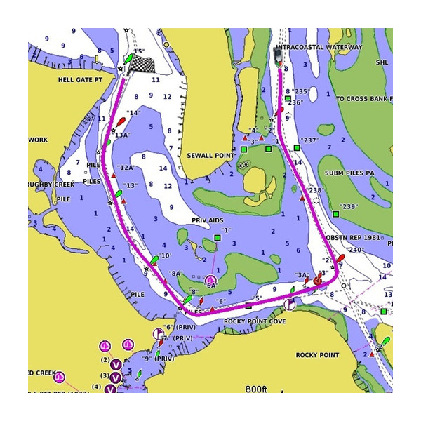
- Auto Guidance1 technology calculates a route using your desired depth and overhead clearance and provides a suggested path to follow
- Certain areas offer high-resolution relief shading, which combines color and shadow to give you an easy-to-interpret, clearer view of bottom structure
- Includes depth range shading for up to 10 depth ranges, enabling you to view your target depth at a glance
- Up to 1’ contours provide a more accurate depiction of the bottom structure for improved fishing charts
- To give a clear picture of shallow waters to avoid, the shallow water shading feature allows for shading at a user-defined depth
High-resolution Relief Shading
With 100% coverage of the continental U.S. coastline, this exceptional shading feature combines color and shadow to give you an easy-to-interpret view of bottom profile, making it easy to find artificial reefs, underwater shelves and more


